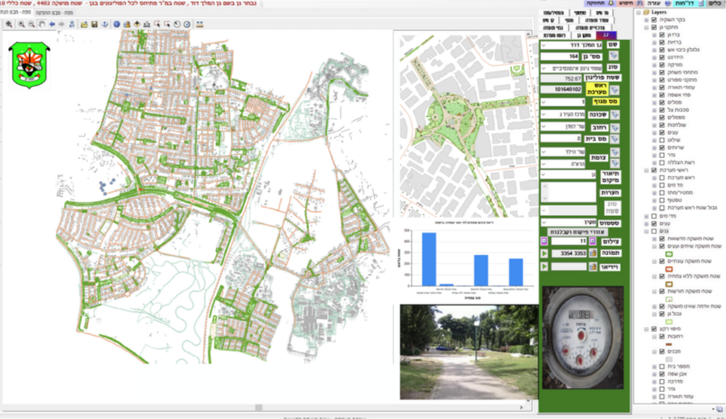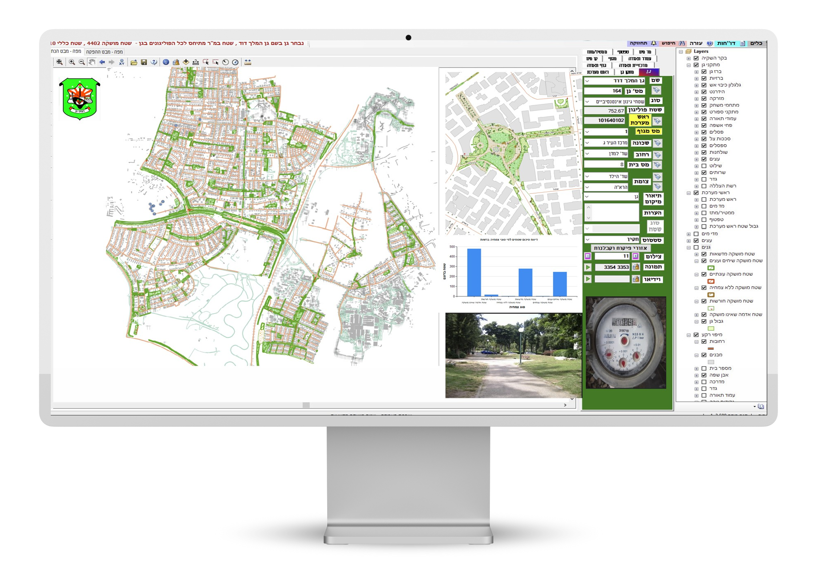
Gardening and Urban Irrigation management by GIS technology
Gardening and Urban Irrigation management is easy and effective with Orhitec GIS module for municipal authorities and gardening companies.
This module will enable the user to plan municipal gardens and green area development, and to be more effective in maintenance, resulting in cost savings.
The GIS application can work as a stand alone program or as a part of Orhitec’s ERP\GIS information server.
Our GIS gardening module provides information management of the following subjects:
Showing green areas and garden information on a separate layer on a background of photogrammetric or orthophoto maps. Linkage between the graphic information to relevant data such as:
- Garden location and address.
- Garden names.
- Garden areas.
- Water irrigation
- As made maps.
- Path location.
- Playground models and locations.
- Certificate of approval of the Israel Standards Institute.
- Litter basket models and locations.
- Shelter models and locations.
- Benches models and location.
- Bushes, lawns, and trees according to type or category.
- Management of trees care – ID card for each tree, dangerous trees, safety of trees in public areas, pruning of electric cables, roots from sidewalks, diseases and more.
Each one of the subjects can be analyzed and queried and the results shown as an alphanumeric report or graphically as a map.
The Mobile and Tablet PC GIS versions as a maintenance and supervision tools in the field:
The application is also developed to be used on a mobile and tablet pc versions suitable for work in the field.
This enables the user to have access to digital video and\or photographs files, to update the GIS module on the location of faults, poor maintenance, lawn mowing, pest control, etc.
The GIS for Gardening module is user friendly and requires no previous computer or software knowledge.
Technology:
Our GIS applications are based on universal platforms like Autodesk & ESRI software, and the databases of Microsoft applications.
- An extensive set of stand-alone applications for data collection, data checking (quality control), data management, and many others.
- The user interface is customizable for various users, Internet and intranet, depending on the level of access to sensitive information.
- Our development department can provide a user interface in any language required by the client.
- All our applications can interface with existing programs such as land use, infrastructures management, Control, and monitoring systems, etc.
- Our systems are supplied as turnkey applications and can include hardware solutions, outsourcing to professional personnel, help desk, and others.
- User support and training for the GIS products to various clients.