Building permits system by GIS technology:
While most of the building and licensing permits systems for local authorities in the world are in alphanumeric technologies that have no engineering and analysis capabilities, Orhitec GIS is the first company to develop it by GIS technology.
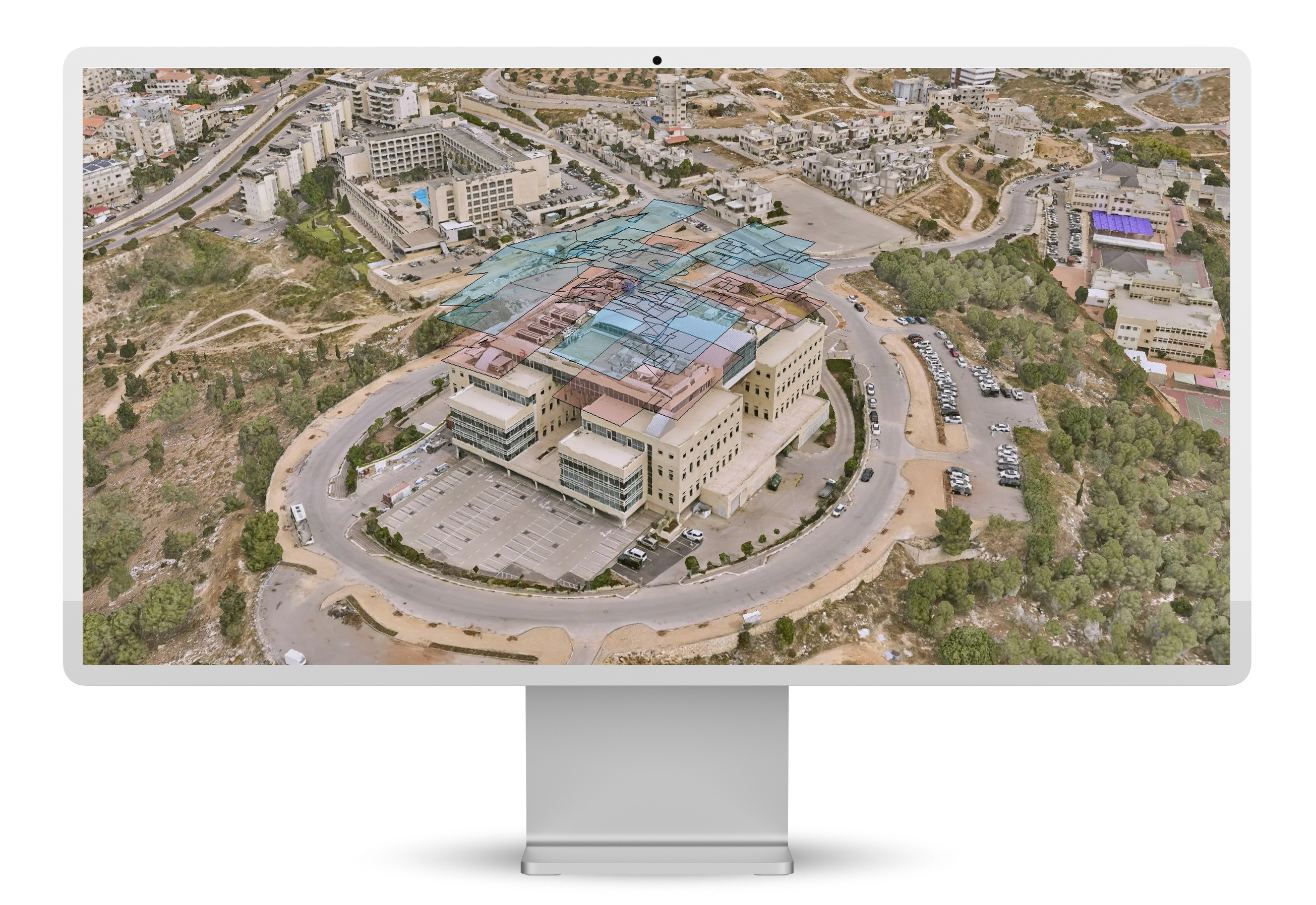
The main advantage of our solution is that GIS combines all different types of data and layers that are being used for planning and construction purposes on a single map for a comprehensive picture and quality control ability of the project.
GIS is the perfect tool to manage complex building and construction permits projects.
Our ERPGIS solution for building permits management include:
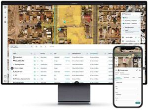
- A system for managing building and licensing permits process, starting from the stage of the application for a building permit until the approval of the permit by the Authority.
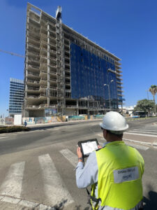
- Application for supervision of the construction for the construction inspectors.
- Mobile and tablet pc solutions for construction inspectors
- Management of land use, city plans and building rights.
- Managing and calculating municipal taxation and fees
- Surveys of building violations.
- Measurement services.
- Mapping and aerial photography services
- Interfaces to municipal systems.
- Publishment of planning information to the public by a GIS website.
Benefits and advantages:
- ERPGIS – One integrated Geographic graphic and alphanumeric database for use by all departments in the Authority.
- Efficient use of data – data flow between the departments in the Authority such as building and licensing permit, land designations, Land and property tax, infrastructure, real estate management, urban maintenance, crises management etc..
- Better service for the resident – shortening the schedule for approving building permits, opening the relevant information to the public, inventing reliable information and in a short time.
- Progress monitoring and reporting – A GIS displays the building permit data in an easily digestible format, rather than stuffed into file folders or confined to cells in a spreadsheet.
- Detect problems early – The Authority is easily updated on the status of the building and construction project, when new information from the field can be seen and updated in real time and in one place
- Ability to spot potential issues earlier and take action to avoid costly rework or delays.
- Keep owners well-informed on progress – Better organized data by ERPGIS not only makes progress monitoring more manageable – it makes sharing that progress with owners simpler as well.
- Ability to grant the owners access to the project map to explore up-to-date data. Alternatively, project information can be filtered to include the data of interest to owners and then exported in their preferred format.
- As-built documentation – Without ERPGIS, the process of documenting and compiling as-built drawings involved manual transfers of revisions that were time consuming and led to inaccurate and incomplete project records. Using our ERPGIS solution can change the as-built game.
- Deliver a high-quality as-built at the end of the project and receiving the building permit – Because of ERPGIS control, as-built is complete and ready to pass on to the owner when construction is finished. Many owners recognize the value of location data for their ongoing operations and maintenance, and may already use GIS as a system of record for their assets. They’ll appreciate a digital as-built in GIS format, where everything is geo-referenced and searchable by location on an easy-to-understand map.
- User friendly information systems.
- Great financial savings – due to the use of one database, a lot of budget is saved from unnecessary data collection and correcting conflicting data, when an update in one department will update the other departments simultaneously and automatically.
- Independent management of the Authority and the building permit Committee.
- Prevention of corruption – by transparency and ERPGIS technological control ability.