Urban Infrastructure management by ERPGIS technology
Orhitec GIS LTD offers a complete solution for Urban Infrastructure Management by GIS technology – ERP\GIS on One Data Base, including Application development and Data collection services for Water, Sewage, Drainage, Electric, Lighting, Oil, Communications utilities, Scanning, Digitization etc.
- Handles Wet infrastructure – Water, sewage, drainage etc. Dry infrastructure – Roads, electricity, communications, urban lighting etc.
- Intended for Municipalities and local authorities, water and sewage corporations and infrastructure companies, collection and measurement of urban infrastructure data.
- Friendly system for end users or professional. The information is updated easily as part of a routine management system.
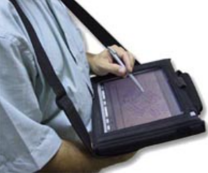
- Data collection and measurement services for GIS systems, field surveys conducted by experienced surveyors, including trenches opening and detection of underground infrastructures.
- The surveyors are equipped with the most advanced tools for digital mapping, including use of high accuracy GPS and fieldwork tablets.

- Streamlines engineering management and contributes to a common language between all the bodies handling infrastructures in the authority.
- System configuration – Web (cloud) based system, local and mobile solutions.
- System technology – ESRI, AUTODESK and Microsoft SQL.


- Annual Work Plan management module – presenting the work in progress , future work and finished work, make key business decisions while viewing the impact on the entire city, document progress, decisions and budgets.
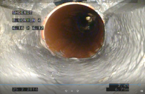
- Sewage and drainage pipe washing module – exclusive – Including video attachment, viewing dynamic object colors according to the schedule for automatic maintenance according to engineering standards.
- Solutions for functional continuity in an emergency when the power grid or the Internet goes down.
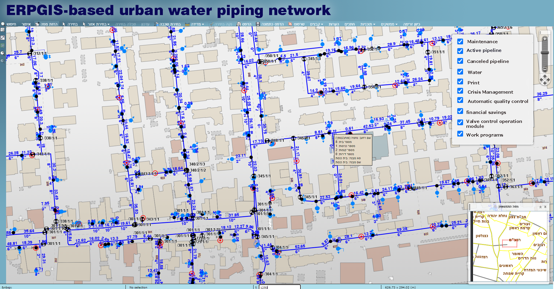
- Critical Infrastructure and Crisis Management – Sensor interface for locating the failed pipes.
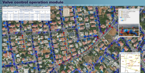
- Closing of only relevant control valves.
- Monitoring properties that will not receive water from the exploded pipe.
- Automatic sending SMS to residents.
- Monitoring populations in need of assistance from the authority, such as welfare and the elderly.
- Production of engineering data for engineers and field crews including maintenance data of the failed pipes.
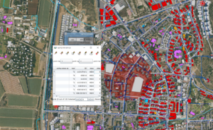
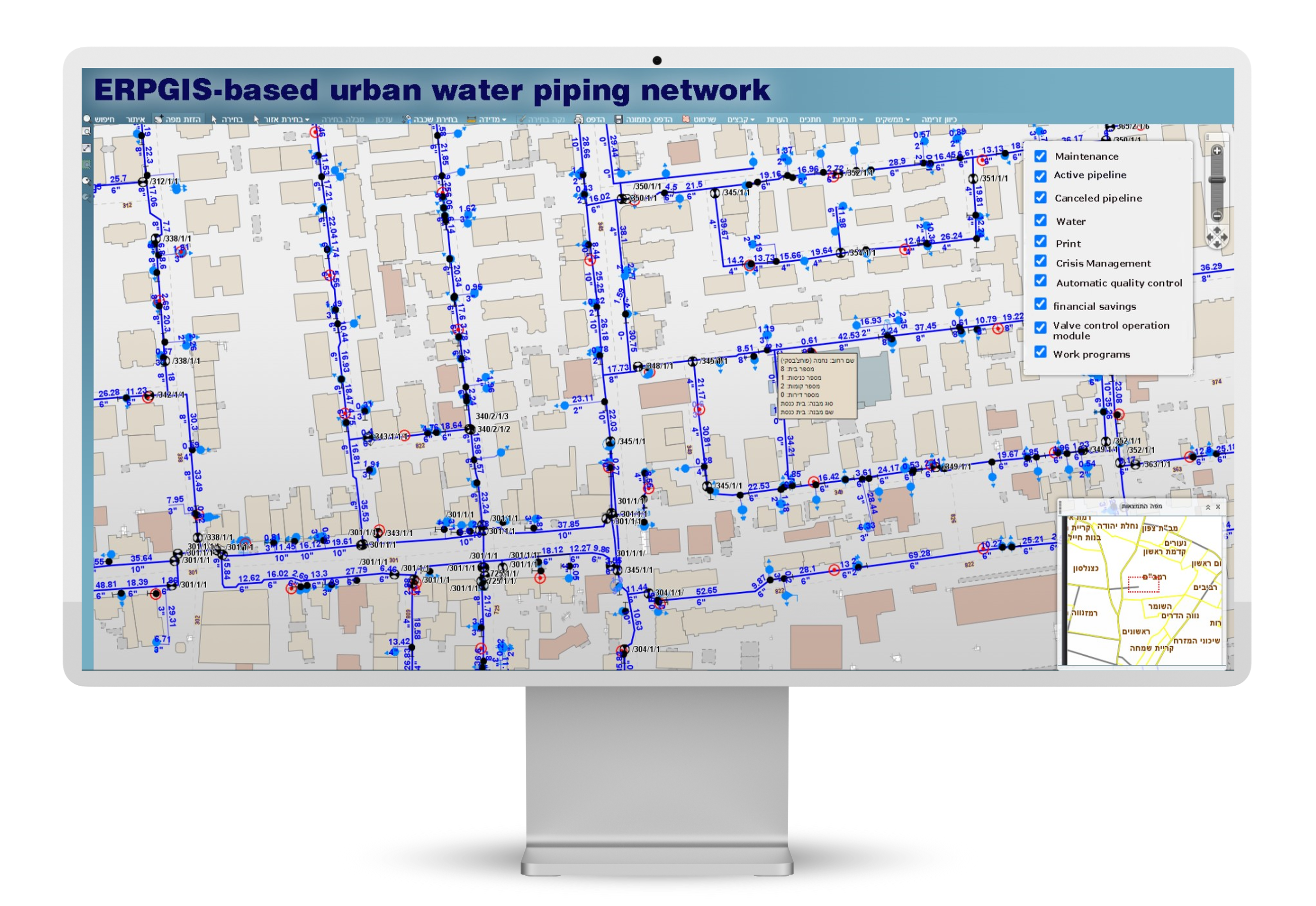
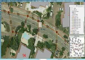
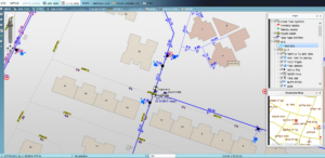
- Management of infrastructures in graphic layers including lines and accessories.
- Advanced visualization options: map display, tabular display, card information of object, image display.
- Query and automatic reports.
- Export and import CAD data according to any alternative specifications.
- Automatic tools for quality control and auditing of AS MADE from contractors.
- Presentation of vector maps on scanned and anchored AS-MADE maps.
- An application that converts CAD data to GIS format and vice versa.
- An application for data amendment that completes missing sewage network data such as calculating the sewage lines slope, automatically adding flow directions and performing various logical engineering tests.
- Interfaces with urban centers, planning and construction systems.
All the above advantages translate into:
- Greatly improved service to the residents.
- Significant financial savings to the Authority.
- The system will improve the operation methods, maintenance decision making, prevent mistakes that could cause the system to stop operating properly and prevent lawsuits.