Land Use & Urban Building Plans And Building Rights
Our company has developed a unique methodology and workflow process for GIS FOR LAND USE for governments and municipalities.
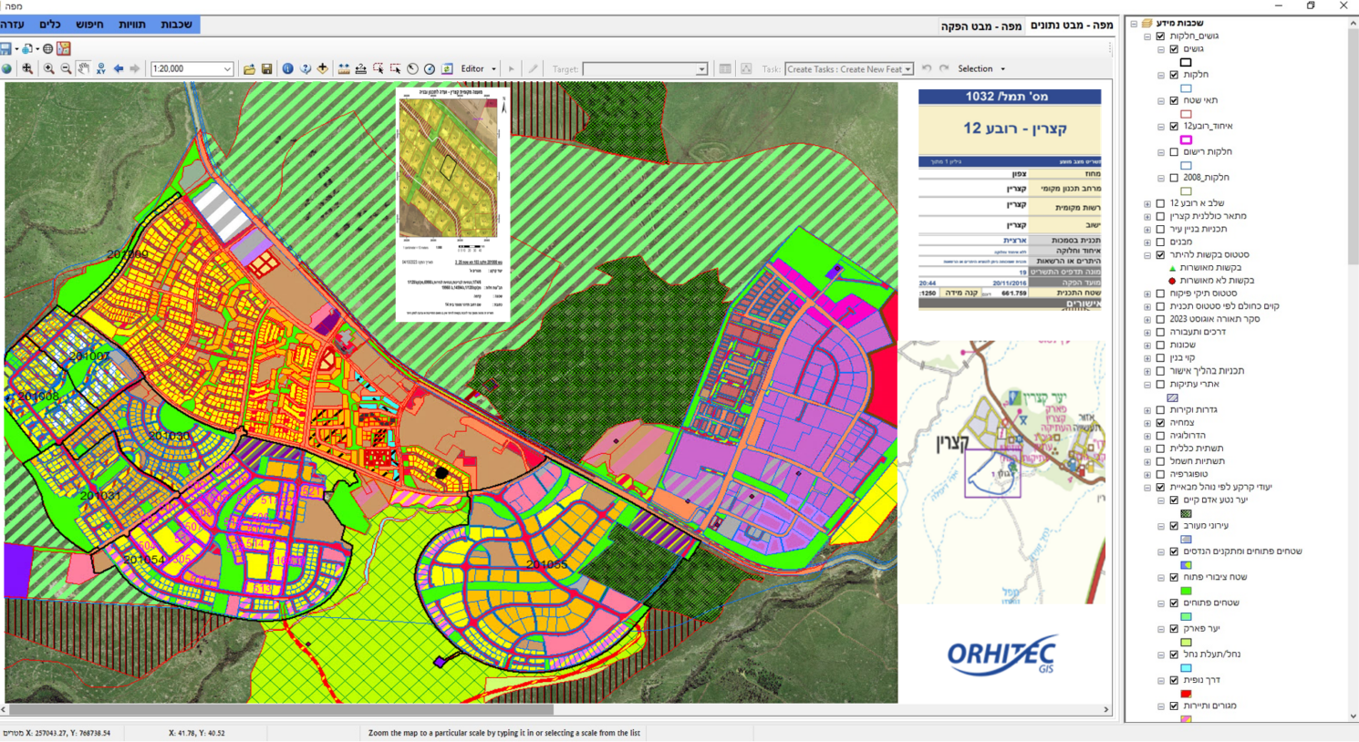
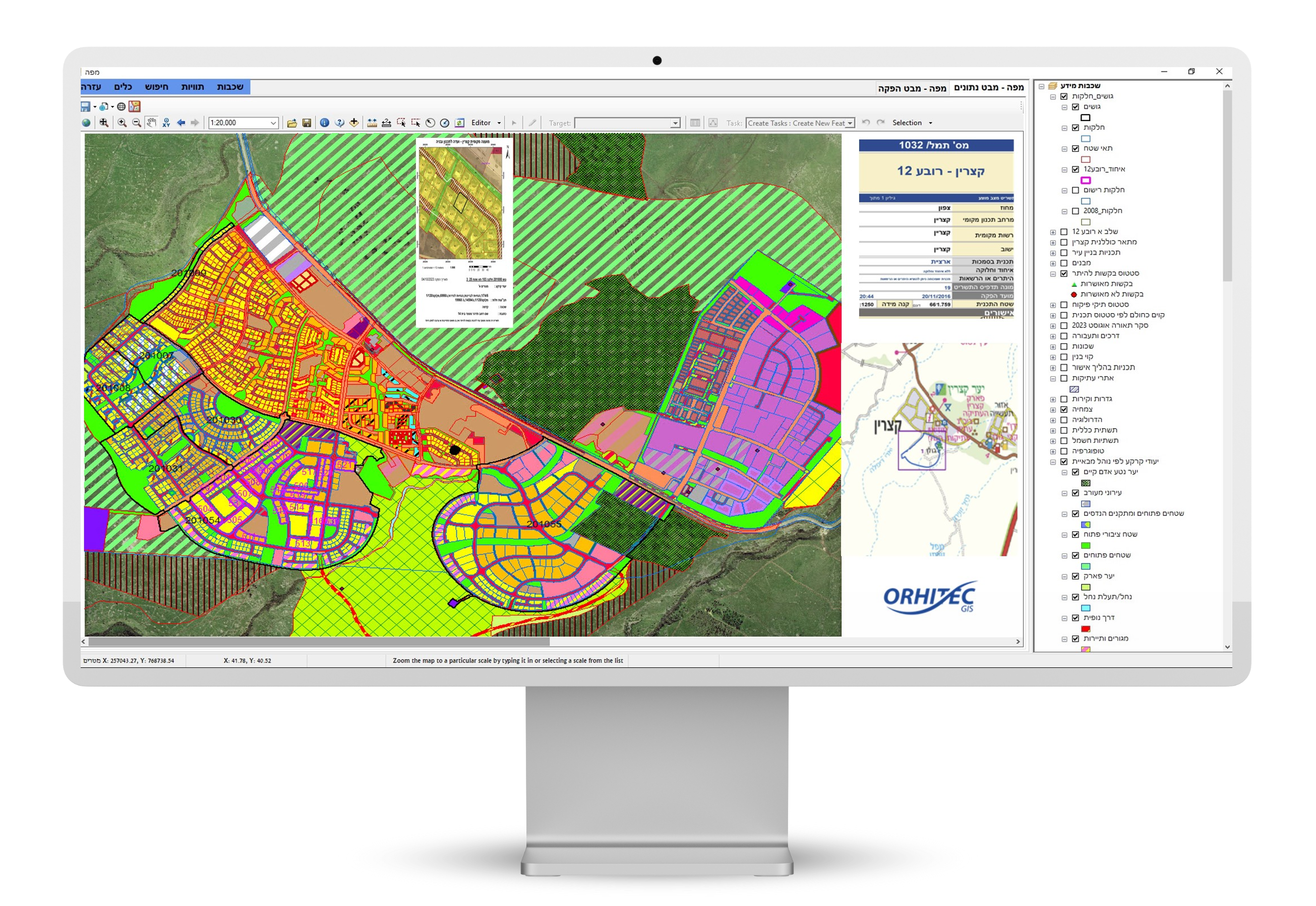
The only ERPGIS system with one database for licensing and building supervision.
We have assembled a special group of experts in town planning and in GIS, to take advantage of the expertise of both.
Our GIS solution for land use was developed in consideration of the local laws in each project area and can easily be adapted to most of the requirements of each client.
In order to achieve high quality and effective results from the land use GIS application, it is crucial to perform data collection in the correct way.
The alphanumeric and geographic information that will be derived from the GIS land use application in the municipality information center or over the Internet is:
- For each request of land use information, which lots and parcels are involved.
- Breakdown of all the requested land use details in a specified report format pertaining to the specific lots and parcels.
- Details of building rights of the requested area.
- The identity of the party that initiated the relevant town plan.
- The history of the town plan development and how it changed over time.
- The planner who created the specific town plan.
- The land owner.
- Reference to earlier relevant town plans.
- Date when the plan went into effect legally.